Graduate Geospatial Consultant or Geospatial Consultant
Location
Warrington/London/Market Harborough/Gateshead, United Kingdom. Hybrid.
Contract
Full time, permanent. Part time considered. (flexible working available).
Salary
Dependent on experience and qualifications.
Benefits
Click here to see some of our employee benefits.
We welcome short videos to support your application. You can either include a link with your CV or send it via the CONTACT LINK HERE. You can also use this link if you have any questions during the application process.
About The Role
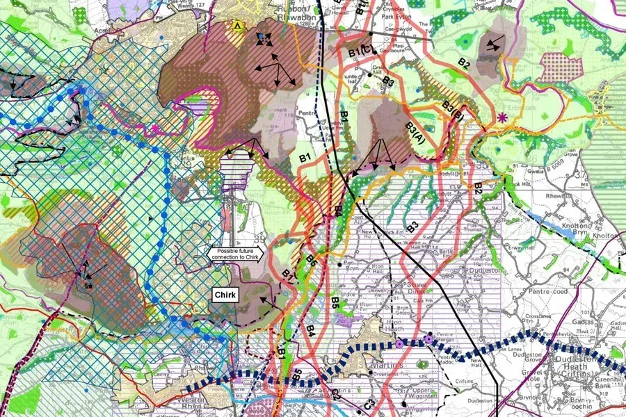
You’ll turn spatial data into clear maps and analysis that help colleagues and clients make informed decisions about the environment. Working across TEP’s specialist disciplines, you’ll contribute to projects involving the natural and built environment within a supportive team. Whether you’re starting your career or bringing relevant professional experience, you’ll have opportunities to build your expertise and take ownership of GIS tasks and project outputs, with responsibility and independence matched to your experience.
Your development will combine hands-on project experience with internal and external training, tailored to your starting point and career goals. Through our Training Academy and Mentoring Programme, you’ll learn from colleagues across the business, explore different environmental services and receive support towards professional accreditation, with regular reviews to help you plan your next steps. Our structured two-year graduate development programme provides a foundation for those beginning their careers.
What You’ll Be Doing
You’ll work alongside our Geospatial Team and colleagues across TEP to provide GIS support for a varied range of projects. With guidance and mentoring appropriate to your experience, you’ll manage allocated tasks and contribute to accurate, high-quality outputs delivered on time, taking on greater responsibility as your expertise develops.
- Produce clear, accurate maps and interactive outputs that communicate spatial information to clients and project teams.
- Support spatial data capture, including mobile survey workflows, and manage the resulting information.
- Analyse survey data and complex datasets to identify patterns and inform project decisions.
- Help develop web mapping and digital data management solutions using the Esri ArcGIS suite.
- Contribute to large-scale geospatial projects, collaborating with colleagues across our environmental disciplines.
- Help develop our capabilities in spatial and statistical analysis, image classification, machine learning and application development.
- Build your expertise through training, mentoring and project experience, while organising your workload and keeping colleagues informed of progress.
What We Are Looking For
We’re looking for someone who enjoys working with spatial information, communicates clearly and is keen to keep learning. You may have developed your skills through academic projects, placements or professional GIS work. We’ll consider your qualifications, technical skills and practical delivery experience together when determining the appointment level.
The areas below reflect the team’s work; you don’t need experience of every tool or technique, and we’ll assess the depth of your GIS, data management and spatial analysis skills in the context of your career stage.
- A degree or equivalent qualification in Geographic Information Science, Environmental Science or Geography, or relevant consultancy experience.
- An understanding of core GIS concepts and experience using ArcGIS Pro, ArcGIS Online and Field Maps, including Esri extensions such as Spatial Analyst or 3D Analyst.
- Experience in data management, web mapping development and spatial and statistical analysis, including working with large, complex datasets.
- Experience using other GIS software, including QGIS, network modelling tools and hydrological applications such as Scalgo.
- Experience or understanding of remote sensing, image classification and machine learning.
- Careful attention to detail and clear cartographic presentation, alongside strong communication skills, an organised approach and a willingness to adapt and develop.
Additional skills or interests would be welcome, but are not essential:
- Spatial databases, GIS programming and automation, web development or mapping libraries, and environmental subjects such as ecology, hydrology, carbon, sustainability or natural capital.
- A full driving licence is also desirable.